LiDAR Data
Directory
Explore high-resolution point cloud data for our plantation areas.
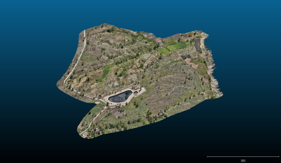
Embung Watu Macan
Agustus 2025
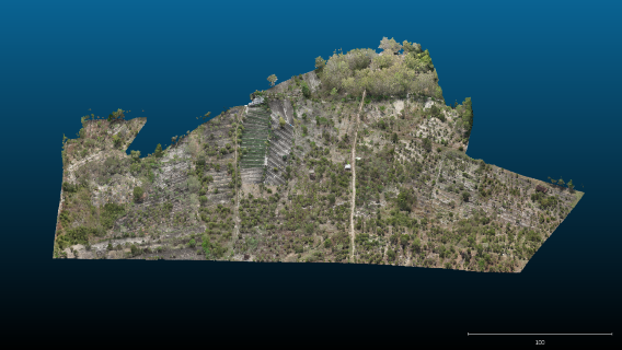
Karangmojo
Agustus 2025
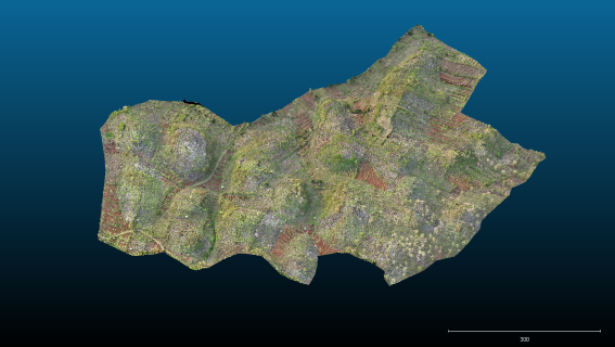
Paliyan
Agustus 2025
Coming soon
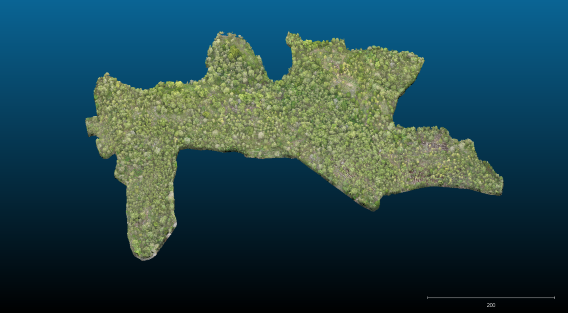
Dlingo
Agustus 2025
About the Project
This portal serves as a centralized access point for 3D LiDAR surveys of our plantation areas. Use the directory above to navigate to specific site visualizations powered by Potree.